Based on your request, I’ve added detailed route information for each segment with specific roads (national highways – NH, provincial roads – PR, expressways – EX), updated to 2025 from reliable travel sources. The total distance remains about 1,200-1,500km, so you can now “plot” it on Google Maps for real-time tracking. This Northeast Vietnam route is mostly well-paved, but expect winding mountain passes, steep drops, and occasional river crossings—ride slow and safe!
1. Hanoi ==>> Ha Giang City (Approx. 300 km)
- Suggested Route: Hanoi (via the West side) ==>> Vinh Phuc ==>> Phu Tho ==>> Tuyen Quang ==>> Ha Giang City.
- Main Roads: QL2 (National Highway 2).
- Travel Time: About 6 – 8 hours.
- Overnight Stop: It’s recommended to leave early and spend the night in Ha Giang City or Quan Ba Heaven Gate to start conquering the Karst Plateau the next morning.
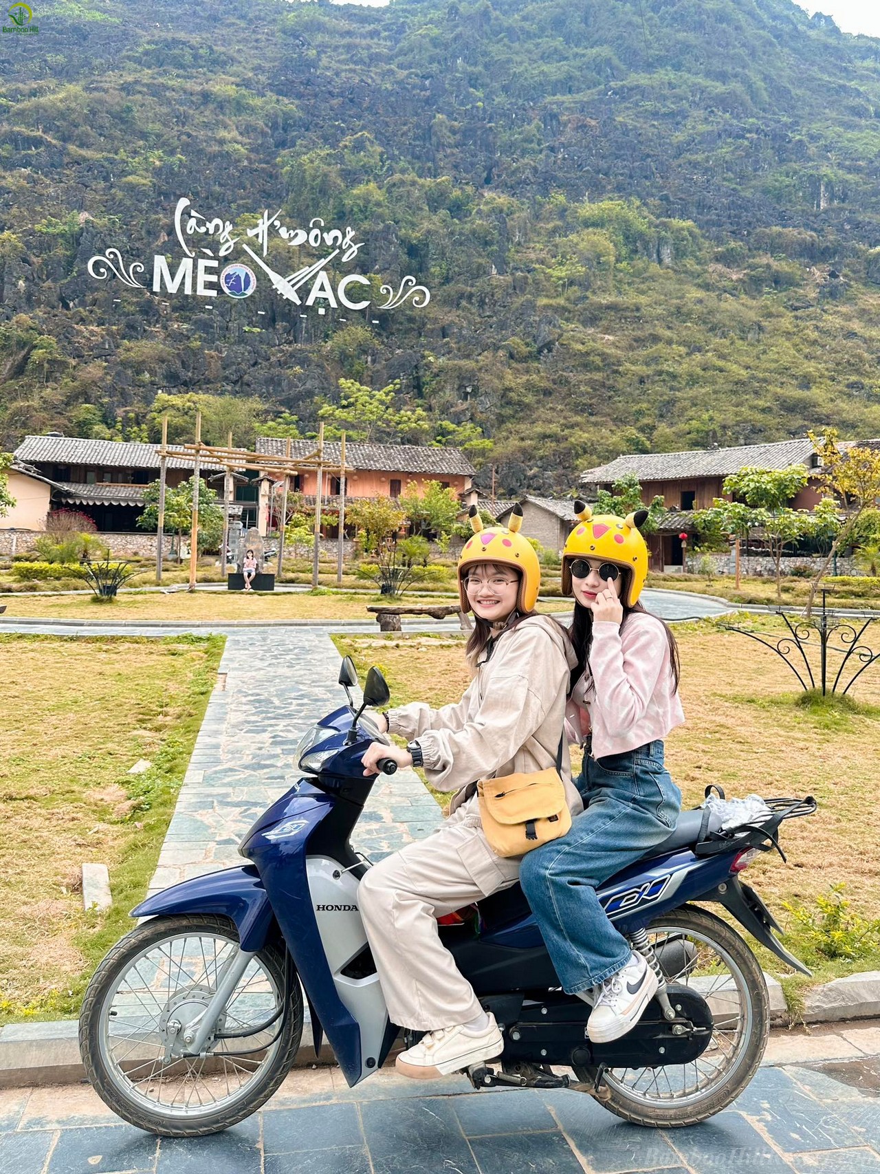
2. Ha Giang City ==>> Dong Van ==>> Lung Cu (Approx. 120 – 150 km)
This is the legendary route of Ha Giang, famous for its winding mountain passes.
Main Roads: QL4C (National Highway 4C).
Route: Ha Giang City ==>> Quan Ba Heaven Gate ==>> Yen Minh ==>> Tham Ma Slope ==>> Dong Van ==>> Lung Cu.
Must-See Attractions:
- Quan Ba Heaven Gate & Fairy Bosom Mountains (Núi Đôi Cô Tiên): The first viewpoint on the Karst Plateau.
- Yen Minh Pine Forest: A cool, poetic landscape amidst the rocky mountains.
- Tham Ma Slope & Chin Khoanh Slope: Famous, challenging switchbacks that are perfect for photos.
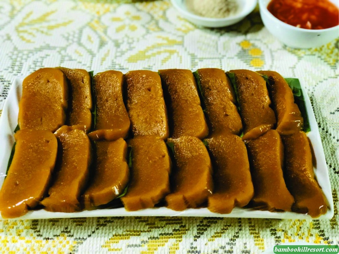
- Dong Van Old Quarter: A great spot to rest, explore ancient architecture, and enjoy local cuisine (recommended overnight stay).
- H’mong King’s Palace (Dinh Thự Vua Mèo): A unique historical and architectural site.
- Lung Cu Flagpole: The northernmost point of Vietnam, offering a panoramic view of the mountains.
>>> Read More : When to go Huu Lien, Huu Lung ? When is Huu Lung most beautiful ?
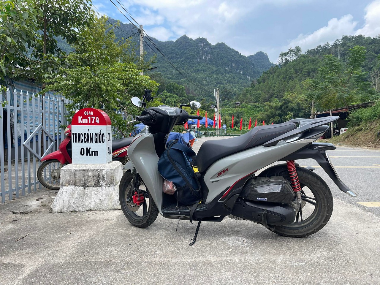
Leg 2: Ha Giang – Cao Bang – Ban Gioc Waterfall (Approx. 250 – 300 km)
From Ha Giang (usually from Dong Van/Meo Vac), you will travel to Cao Bang.1. Dong Van/Meo Vac ==>> Cao Bang (Cao Bang City)
Most Scenic Route: Dong Van ==>> Ma Pi Leng Pass ==>> Meo Vac ==>> Bao Lac ==>> Bao Lam ==>> Cao Bang City.
Main Roads: QL4C ==>> QL34 (or QL4A).
Highlights:
Ma Pi Leng Pass: One of Vietnam’s “Four Great Passes,” featuring the Nho Que River gorge—one of the deepest in Southeast Asia. A must-see!
Nho Que River: Highly recommended to take a boat trip (from Ta Lang or Tu San Gorge)
2. Cao Bang City ==>> Ban Gioc Waterfall (Approx. 90 km)
Overnight Stop: Recommended to stay near Ban Gioc Waterfall (Trung Khanh district) to visit the falls early.Main
Roads: QL4A ==>> DT206 (Provincial Road 206).

Must-See Attractions:
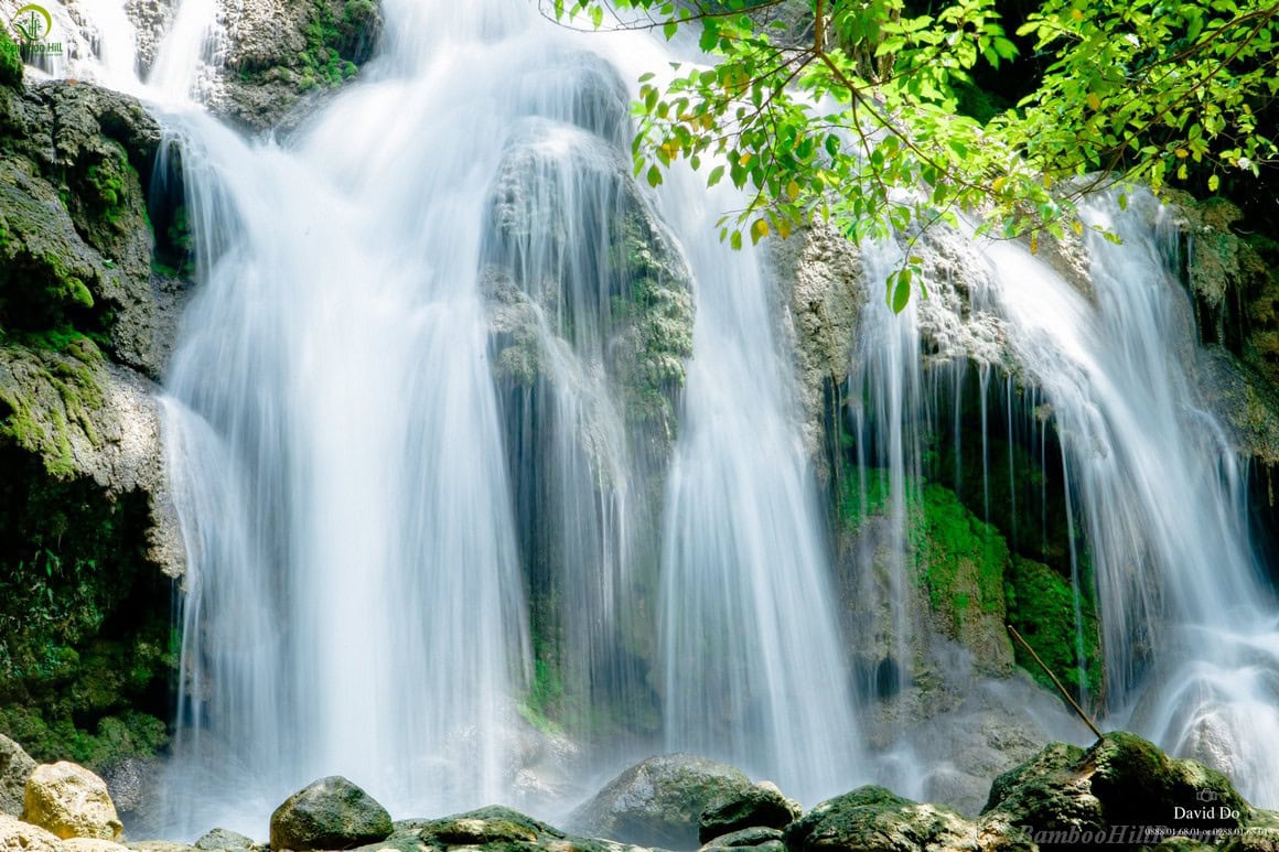
- Ban Gioc Waterfall: The largest natural waterfall in Southeast Asia, located on the border between Vietnam and China.
- Truc Lam Ban Gioc Pagoda (Chùa Phật Tích): A temple with a beautiful location overlooking the waterfall and mountains.
- Nguom Ngao Cave: A stunning limestone cave with unique stalactite formations
- .Pac Bo Historical Site: Where President Ho Chi Minh began his revolutionary career in Vietnam.Lenin Stream and Coc Bo Cave: Sites of great historical significance.
>>> Read More : Discover Huu Lung, Lang Son – The Hidden Gem of Northern Vietnam
Leg 3: Cao Bang – Bac Son – Huu Lien (Approx. 180 – 220 km)
After exploring Cao Bang, you will head towards Lang Son province.
Main Roads: QL4A (or QL4B) ==>> QL1B ==>> DT243.Route: Cao Bang ==>> That Khe (Lang Son) ==>> Bac Son District ==>> Huu Lung District (Huu Lien).
Overnight Stop: Recommended to stay at Homestays/Resorts in Bac Son or Huu Lien.
Must-See Attractions:
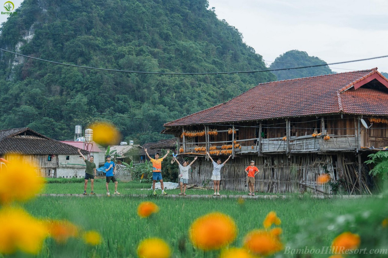
- Bac Son Valley (Lang Son):Famous for its unique rice fields, shaped like a basin and surrounded by limestone mountains.
- Na Lay Peak: An ideal spot for a short hike to view the entire valley (best at sunrise or sunset).Huu Lien Tourist Area (Huu Lung, Lang Son):Dong Lam Steppe: A great place for camping, kayaking, or watching horses graze (depending on the water season).
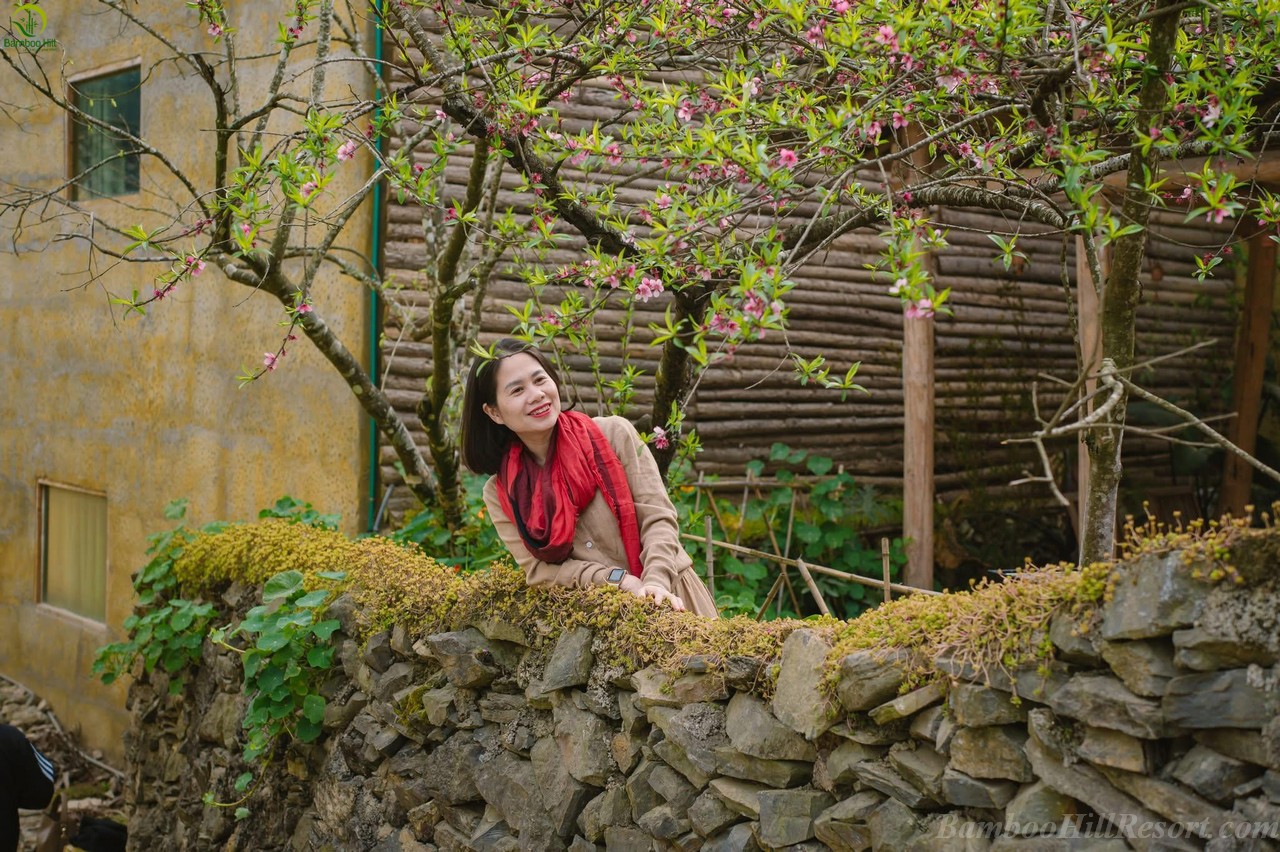
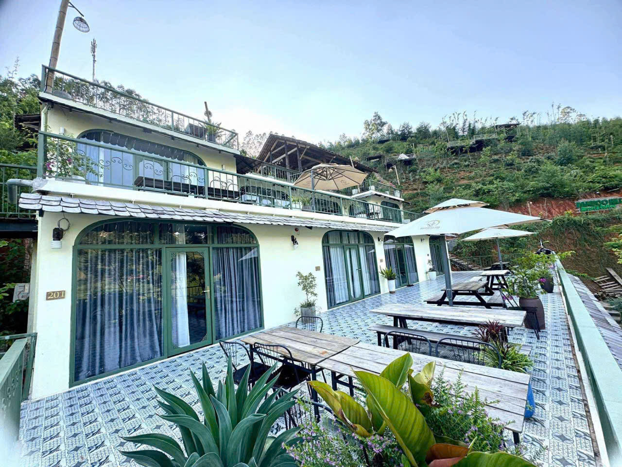
- Nong Dung Lake: A peaceful lake landscape surrounded by mountains.You can choose to stay at Bamboo Hill Resort for a natural getaway.
Leg 4: Huu Lien – Hanoi (Approx. 120 km)
This is the final and relatively easy leg to conclude the journey.
- Main Roads: DT243 ==>> QL1A (Old).
- Route: Huu Lien ==>> DT243 ==>> QL1A (passing through Huu Lung) ==>> Bac Giang, Bac Ninh ==>> Hanoi.
- Travel Time: About hours.
>>> Read More : The most detailed 2 days 1 night Huu Lien Travel Guide
Additional Route Tips
- Mapping Aids: Download offline Maps.me and mark NH/PR routes. 2025 Weather: Check Windy app for pass fog.
- Safety: NH4C and NH34 are the toughest—carry spare fuel, avoid rain (June-August).
- Updates: Roads may change due to repairs; check Facebook groups like “Northeast Vietnam Motorbike Tours” before departure.
With these details, you’re set to roll with confidence! If you need a GPX file or route tweaks, just ask. Safe travels!